About Hogan Land Services
Since 2003, Hogan Land Services has been a forerunner in the Land Services industry.
The company started in Santa Rosa, and eventually expanded into both Santa Cruz and Livermore.
Today, Hogan Land services specializes in services designed to help residential and commercial property owners with all stages of development.

Our Seven Core Service Areas
- Building Design
- Surveying
- Civil Engineering
- Structural Engineering
- Planning
- Septic
- Permit Assistance
We are your advocate, guide, and expediter, ensuring that our clients get permits issued as soon as possible.
Our services allow you to get the result you are looking for with your project.
Located in California, Hogan Land Services has offices in Santa Rosa, Santa Cruz, and Livermore.
However, Hogan can assist property owners with projects in many areas of California.
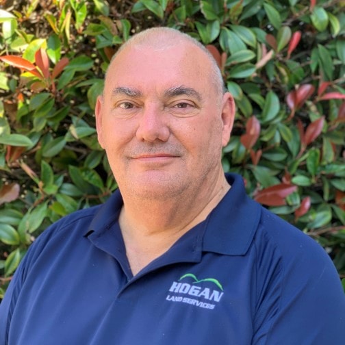
Mike Hogan, PLS 7362, Founder and CEO
Mike Hogan is no stranger to the Land Services business. After working in the field 14 years for several different firms, and then building a Survey only business with a partner for 5 years, Mike decided it was time for him to start a new thing.
In 2003, Mike opened Hogan Land Services Inc. offering a wide range of land development services, including all phases of Surveying, Civil Engineering, Structural Engineering, and Permit Processing.
Mike has served as President, Secretary, and on several committees in the CLSA. As a leader, Mike also provides excellent opportunities for his staff by supporting continuing education through time off and the payment of tuition costs for his employees. Mike, his wife Pam, and their family reside in Santa Rosa.